

 English














































































































































































































































































































































































































































































































































































































































































































































































































































































































































































































































































































































































































































































































































































































































































































































































































































































How to Create a Site Plan That Meets Permit Requirements

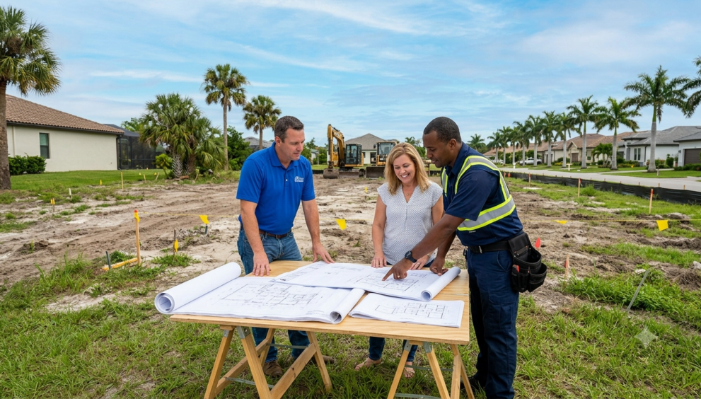
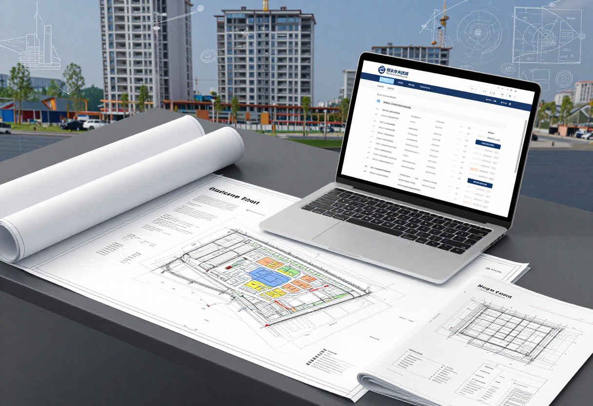
Creating a site plan is an essential step in preparing for a construction, renovation, addition, or development project. Whether you are building a new home, adding a garage, installing a shed, or planning a commercial property improvement, local authorities often require detailed drawings before approving your application. A well-prepared building permit site plan helps reviewers understand exactly what you plan to build and how the proposed project will fit on the property.
However, preparing a compliant site plan for permit approval requires more than simply drawing the outline of a building. The plan must communicate important information about the property, existing structures, proposed improvements, setbacks, access, utilities, and other site features. Understanding what local authorities expect can help you avoid delays, corrections, and rejected submissions.
1. Understand Your Local Permit Requirements
Before creating your site plan, start by researching the specific requirements of the authority reviewing your application. Requirements can vary significantly between cities, counties, municipalities, and planning departments. A site plan accepted in one jurisdiction may need additional information in another.
Check the local building or planning department’s guidelines to determine what information must be included. Some jurisdictions may require a professionally prepared drawing, while others may accept homeowner-drawn plans for smaller projects. You may also need to submit the plan at a specific scale or on a particular sheet size.
Review whether your project requires additional approvals related to zoning, drainage, landscaping, parking, access, utilities, or environmental conditions. Understanding these requirements at the beginning can save considerable time later.
2. Gather Accurate Property Information
An accurate site plan begins with reliable property information. Before drawing your plan, collect the documents and measurements needed to represent the site correctly.
Useful information may include a property survey, parcel dimensions, legal property lines, existing site plans, zoning information, and previous building plans. You should also identify easements, rights-of-way, utility locations, and other restrictions that may affect construction.
Measure the location of existing structures and important features when accurate information is not already available. These may include the main house, garage, driveway, fences, decks, sheds, trees, pools, retaining walls, and other permanent improvements.
Accuracy is critical. Even small errors in property dimensions or building placement can create problems when reviewers compare your drawings with official records or conduct an inspection.
3. Show Existing and Proposed Structures Clearly
One of the primary purposes of a building permit site plan is to show what currently exists and what you intend to add or change.
Your drawing should clearly distinguish between existing and proposed features. For example, if you are constructing a new detached garage, the plan should show the existing residence and the proposed garage in their correct locations.
Depending on the project, you may need to include:
- Property boundaries and dimensions
- Existing buildings and structures
- Proposed construction
- Driveways and parking areas
- Sidewalks and walkways
- Fences and walls
- Decks, patios, and accessory structures
- Pools and other site improvements
- Significant trees or landscaping
- Utility features and service connections
Use clear labels and consistent graphic symbols so the reviewer can quickly understand the relationship between existing conditions and proposed work.
4. Include Setbacks, Dimensions, and Site Measurements
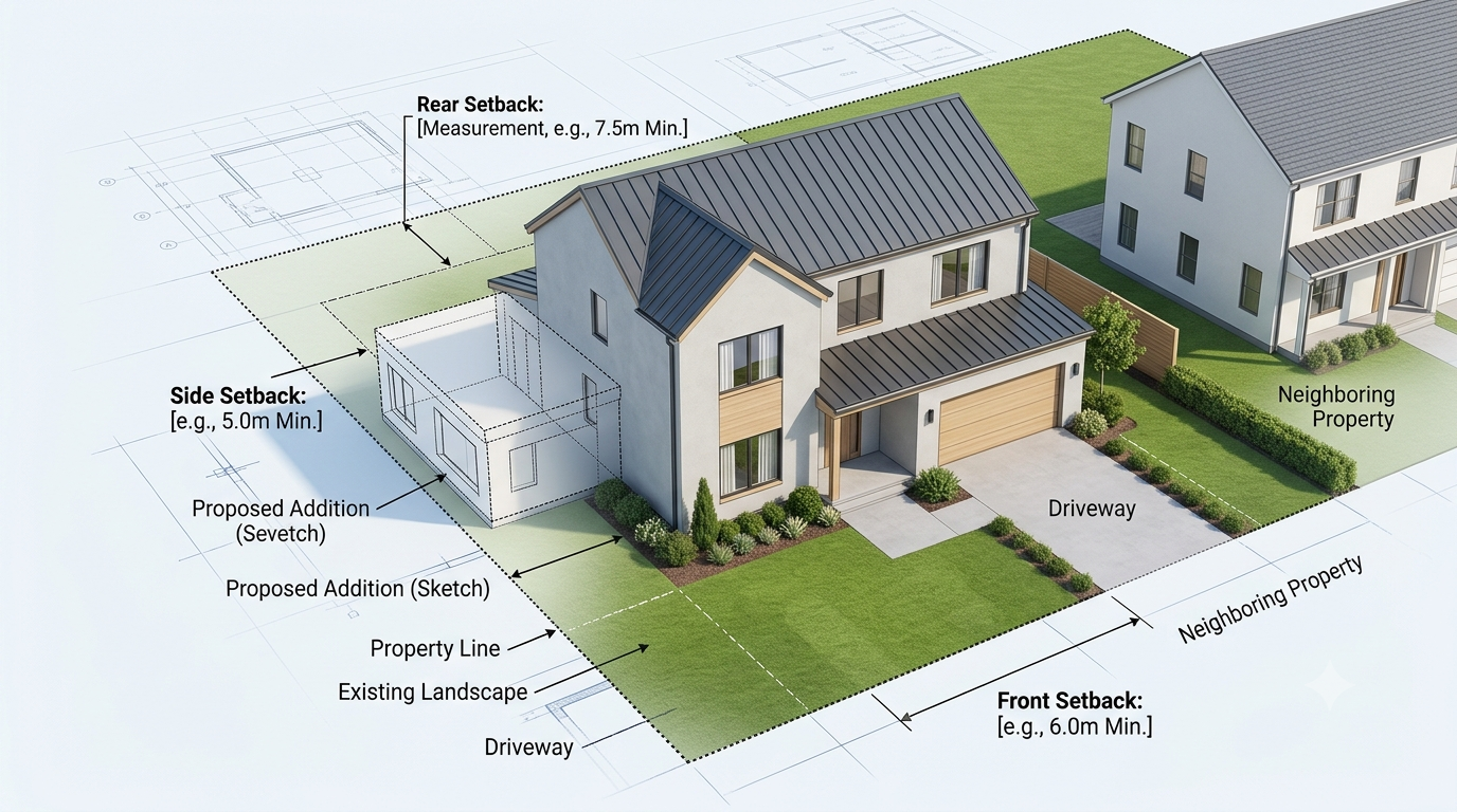
Setbacks are among the most important elements of a site plan for permit approval. They show the distance between proposed structures and property lines or other required reference points.
Clearly dimension the proposed structure from the relevant property boundaries. Depending on local regulations, you may also need to show distances from existing buildings, streets, easements, septic systems, wells, or other features.
Your plan should provide enough dimensions for a reviewer to verify compliance without having to estimate distances from the drawing.
In addition to setbacks, include the overall dimensions of proposed structures and important site features. A north arrow and graphic or written scale are also commonly required. These elements help reviewers understand the orientation and proportions of the property.
If your project involves zoning restrictions, confirm that the proposed placement complies with applicable front, side, and rear setback requirements before submitting the plan.
5. Add Access, Utilities, and Other Required Details
Depending on the type and location of your project, local authorities may require additional site information. Including these details accurately can make the review process smoother.
Show the property’s access points, driveway connections, parking spaces, and nearby streets when applicable. For commercial or larger residential projects, parking layouts, loading areas, fire access, and pedestrian circulation may also be important.
Utility information may include water, sewer, gas, electric, and stormwater features. If the project affects drainage, grading, or runoff, additional plans or engineering documents may be necessary.
Some projects may also require information about landscaping, trees, fencing, lighting, accessibility, or erosion control. The exact requirements depend on your location and project type, so always confirm the checklist provided by the relevant authority.
6. Review Your Site Plan Before Submission
Before submitting your site plan for permit approval, perform a detailed review against the local application checklist. Make sure every required element is included and that all dimensions and labels are consistent.
Check the following:
- Property lines are clearly identified.
- Existing and proposed structures are distinguishable.
- Building dimensions are accurate.
- Required setbacks are shown.
- The drawing includes a north arrow.
- The scale is clearly identified.
- Streets and access points are labeled.
- Relevant utilities are shown.
- Required easements or rights-of-way are identified.
- The proposed project complies with applicable zoning requirements.
It is also helpful to have another person review the drawing before submission. A fresh set of eyes may identify missing dimensions, unclear labels, or inconsistencies that you overlooked.
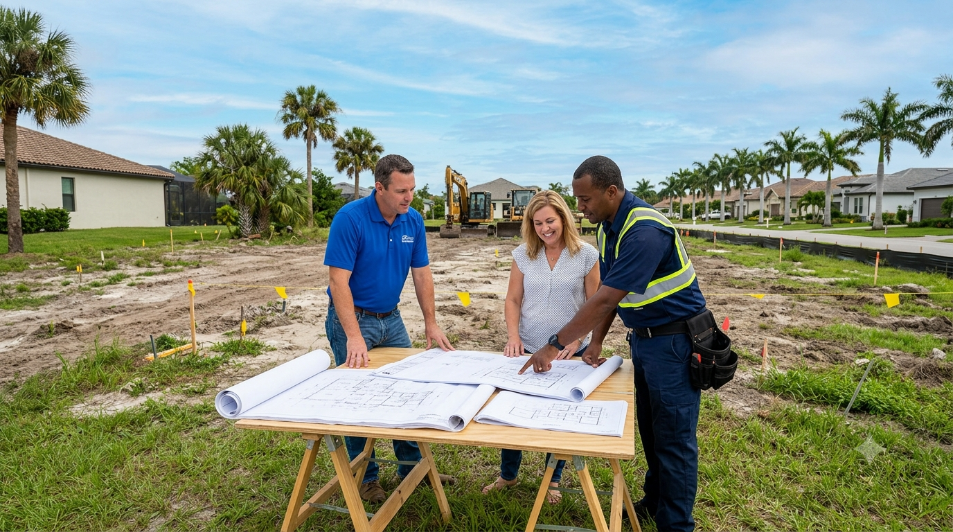
If your project is complex, consider working with a professional drafting or site planning service. Experienced professionals can help organize property information, prepare accurate drawings, and ensure the plan addresses common submission requirements.
Conclusion
Creating a site plan that meets permit requirements is an important part of a successful construction project. A clear and accurate drawing gives local reviewers the information they need to evaluate your proposal and determine whether it complies with applicable regulations.
The key is to start with accurate property information, understand local requirements, clearly show existing and proposed structures, document setbacks and dimensions, and include any additional site details required for your specific project. Taking the time to prepare a complete building permit site plan can reduce unnecessary revisions and help keep your project moving forward.
Whether you are planning a residential addition, accessory structure, commercial improvement, or new development, a properly prepared site plan for permit submission can provide a strong foundation for the approval process. By carefully reviewing local guidelines and presenting your project information clearly, you can approach the permitting process with greater confidence and fewer surprises.